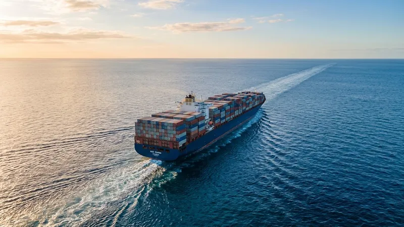
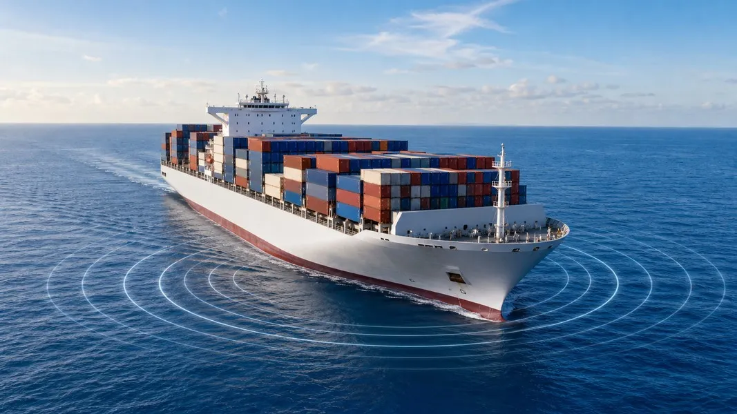
AIS vessel tracking is how ships automatically broadcast their location, speed, and identity to nearby receivers, satellites, and shore stations in real time. The system turns a vessel's onboard navigation data into a continuous radio signal that any compatible receiver can pick up, no radar or manual reporting required.
If you've ever opened a ship tracking app and wondered how it knew exactly where a cruise ship or cargo vessel was, AIS is the answer. Understanding how it works helps you read tracking data more confidently, know what to expect from an app, and recognize the moments when a vessel might disappear from the map.
What Is AIS and Why Ships Use It
AIS stands for Automatic Identification System. It was developed in the 1990s as a collision-avoidance and marine traffic-management tool. Ships transmit short digital messages over VHF radio, and other vessels or shore stations within range receive and display those messages automatically.
The International Maritime Organization made AIS carriage mandatory under SOLAS Chapter V for all passenger ships, cargo ships of 300 gross tonnage and above on international voyages, and cargo ships of 500 gross tonnage and above on domestic voyages. In practice, this covers virtually all major commercial vessels, from container ships and bulk carriers to cruise ships and ro-ro ferries. Worldwide, more than 400,000 vessels transmit AIS signals, making it the backbone of global vessel ais tracking.
The original goal was safety at sea. When two vessels are on a collision course, their AIS data appears on each ship's navigation screen immediately, allowing bridge officers to take action. Shore stations and maritime authorities use the same data for traffic control, port management, and emergency response.
How AIS Vessel Tracking Works
Every AIS-equipped vessel carries a transponder connected to its onboard navigation sensors, typically a GPS receiver and a gyrocompass. The transponder listens for incoming signals from other vessels and simultaneously broadcasts its own data on two dedicated maritime VHF frequencies: 161.975 MHz and 162.025 MHz.
The transmission schedule is dynamic. A vessel traveling fast broadcasts more often than one sitting at anchor:
- Above 23 knots: every 2 seconds
- Between 14 and 23 knots: every 4 seconds
- Between 3 and 14 knots: every 8 seconds
- Below 3 knots or at anchor: every 3 minutes
Class B transponders, common on smaller commercial vessels and some leisure craft, transmit on a slower schedule, with a minimum interval around 30 seconds. This is why container ships and cruise liners tend to show smooth, continuous tracks on a map, while smaller vessels can appear to jump between positions.
What Data AIS Actually Contains
Each AIS broadcast carries a mix of static information (set once and rarely changed) and dynamic data (updated continuously from sensors). A standard AIS Class A transmission includes:
- MMSI number: a unique nine-digit identifier for the vessel
- IMO number and radio call sign
- Vessel name and vessel type
- Real-time position from the GPS receiver
- Speed over ground and course over ground
- Heading from the gyrocompass
- Navigational status: under way, at anchor, moored, not under command
- Rate of turn
- Destination and estimated time of arrival, when entered by the crew
The destination and ETA fields are manually entered by the ship's officers, which means they can be incomplete, outdated, or simply left blank. Every other position-related field updates automatically from sensors. This matters when you're tracking ais ships and notice an ETA that doesn't match the vessel's actual progress. The app might show a corrected AI-calculated ETA alongside the one the captain submitted, because those two numbers often differ.
Terrestrial AIS vs Satellite AIS
AIS operates on VHF radio, which is line-of-sight. That's a hard physical limit. A vessel-to-vessel range is roughly 15 to 20 nautical miles, and a well-placed shore station on a hill or headland might reach 40 nautical miles. The USCG Navigation Center and similar maritime authorities operate networks of coastal receivers to provide coverage around busy ports and shipping lanes. For vessels in those areas, terrestrial AIS coverage is dense and real-time.
Once a ship moves into open ocean, that coverage disappears entirely. Satellite AIS (S-AIS) fills this gap by using low-Earth-orbit satellites to passively receive the same VHF signals from space. The satellites listen for AIS broadcasts far beyond the horizon and relay them to ground stations for processing. Providers like Spire Maritime and ORBCOMM offer satellite-based AIS data feeds that platforms use to extend coverage across remote shipping lanes and mid-ocean routes.
For users, the practical difference is straightforward. Tracking a ferry crossing a busy strait or a ship maneuvering into port? Terrestrial receivers will show near-instant position updates. Following a container ship crossing the Pacific? Satellite AIS provides coverage, but updates can arrive with a delay of several minutes depending on satellite pass timing and message traffic.
This is why ais maritime tracking apps sometimes show a vessel's position with a timestamp that's five or ten minutes old in the middle of an ocean, even though the data looks current on the map. The underlying AIS signal was real; it just traveled via satellite before reaching you.
How Tracking Apps Turn Raw AIS Into Useful Information
Raw AIS data is a stream of coordinates, status codes, speed values, and vessel metadata. It's accurate, but it doesn't tell you anything you can act on without context. Knowing that a vessel is at 24.37°N, 118.42°W traveling at 16.2 knots on course 284° tells you very little if you're a family member waiting for a cruise ship to reach the next port.
Tracking apps aggregate AIS signals from networks of terrestrial receivers and satellite feeds, decode the raw messages, filter out noise, and plot vessels on an interactive map. That's the foundation. The layer above it is where the real difference appears between a data tool and an experience.
Apps like Primo Nautic take the raw AIS stream and apply AI to turn it into plain-language updates adapted to why you're tracking. A cargo monitor following a container shipment gets a professional, logistics-focused summary about departure, route progress, and predicted arrival. A family tracking a loved one on a cruise ship gets a warm, reassuring update about the vessel's current location, sea conditions, and how far it is from the next port of call. The underlying data is identical; the interpretation changes completely based on context.
Most consumer-facing tracking apps show position updates in near real time for vessels in terrestrial AIS coverage, with minute-scale delays in areas dependent on satellite data. What changes between apps is what they show you beyond the dot on the map: estimated arrivals, delay alerts, weather at the vessel's location, and context for what the navigational status actually means. When following types of ships ranging from cruise liners to tankers, that added context is often the only thing that makes the raw data meaningful.
Primo Nautic also runs a dual ETA system that compares the captain's reported destination ETA against an AI-calculated route estimate, flagging discrepancies before a delay becomes a surprise. For cargo shippers who already use a bill of lading to track their shipment on paper, this kind of real-time vessel intelligence is what bridges the gap between document-level tracking and actual visibility on the water.
What AIS Cannot Tell You
AIS was built for identification and collision avoidance, not surveillance. Its limitations are worth understanding before you read too much into what a tracking app shows.
Coverage is not universal. Small leisure craft and many fishing boats are not required to carry AIS transponders, and some choose not to. Military vessels routinely operate without AIS, or with it switched off. Even commercial ships in a mandatory AIS zone can turn their transponder off, making the vessel invisible to tracking systems until it reappears.
AIS is self-reported, which means the data can be wrong. A vessel can broadcast an incorrect destination, a false vessel name, or a manipulated position. Deliberate manipulation is rare in civilian shipping, but coverage gaps caused by disabled transponders are common enough that any serious tracking tool should account for them.
The system does not detect objects like radar does. It receives what a vessel's transponder chooses to send, nothing more. Two vessels can be on a collision course with AIS running correctly and still fail to see each other if one has a disabled transponder. AIS complements radar and lookout watches; it doesn't replace them.
Finally, position updates on consumer apps are not continuous frames like video. They are discrete snapshots that map software interpolates into a smooth track. A vessel that appears to move fluidly on screen may have actually transmitted only once every eight seconds. In satellite-covered areas, the most recent position could be several minutes old. That's worth knowing if you're trying to estimate exactly when a ship will enter port.
Making Sense of What You See on a Ship Tracking App
Once you know how AIS works, the data on a tracking app stops looking like noise and starts telling a coherent story. The position updates reflect real GPS coordinates from the vessel's own navigation system. The speed and course match what the helmsman is steering. The navigational status tells you whether the ship is actually moving or sitting at anchor waiting for a berth.
What the app adds on top of that raw feed is the translation layer: visual context, plain-language updates, ETA estimates, weather conditions at the vessel's position, and alerts when something changes. For everyday users who aren't maritime professionals, that translation is what makes ais tracking ships actually useful, rather than technically correct but practically unreadable.
Understanding where the data comes from, how often it updates, and what it can't show you gives you a clearer picture of why tracking an ocean-crossing vessel looks different from following a coastal ferry, and why a brief gap in position data rarely means anything is wrong.