Nautical Mile: Definition, Conversion, and Why Ships Use It
A nautical mile is exactly 1,852 meters, which equals 1.852 kilometers or approximately 1.15 statute miles. Unlike a regular mile, which is a historical land unit, the nautical mile is tied directly to the geometry of the Earth, making it the natural unit for navigation at sea and in the air.
If you've ever wondered why ships and vessel tracking apps use "nm" instead of kilometers or miles, the answer comes from how sailors have always navigated: by latitude lines, sextant angles, and the coordinate grid of the globe itself.
How Long Is a Nautical Mile in Miles and Kilometers?
One nautical mile converts as follows:
- 1 nm = 1,852 meters (the official international definition)
- 1 nm = 1.852 kilometers
- 1 nm = 1.15078 statute miles
- 1 nm = 6,076 feet (compared to 5,280 feet in a regular mile)
For longer voyages, the table below shows the most common conversions:
| Nautical Miles | Kilometers | Statute Miles |
|---|---|---|
| 1 | 1.852 | 1.15 |
| 5 | 9.26 | 5.75 |
| 10 | 18.52 | 11.51 |
| 50 | 92.60 | 57.54 |
| 100 | 185.20 | 115.08 |
| 500 | 926.00 | 575.39 |
| 1,000 | 1,852.00 | 1,150.78 |
The formula is simple: multiply nautical miles by 1.852 to get kilometers, or by 1.15078 to get statute miles. Going the other way, divide kilometers by 1.852 or divide statute miles by 1.15078.
To put these distances in context: the Atlantic crossing from New York to Southampton is roughly 3,100 nautical miles. A cruise from Miami to Nassau in the Bahamas is about 180 nautical miles. The English Channel at its narrowest point is around 21 nautical miles wide.
Where Does the Nautical Mile Come From?
The nautical mile exists because of how the Earth is divided into geographic coordinates. Every circle can be divided into 360 degrees, and each degree can be further divided into 60 minutes of arc. One nautical mile equals one minute of arc along a meridian of latitude, which is 1/60th of one degree.
This relationship means one degree of latitude equals exactly 60 nautical miles. For a navigator using a sextant to measure angles to the horizon or stars, this connection turns an angular measurement directly into a distance on the chart. No conversion table needed. A position fix that shows you are two degrees of latitude north of your destination tells you immediately that you have 120 nautical miles to go.
This is the fundamental reason the nautical mile exists: it makes the mathematics of navigation elegant. Longitude and latitude coordinates, angle measurements, and chart distances all speak the same language.
The unit was formally standardized by the International Hydrographic Organization in 1929, a body that still sets global standards for maritime navigation and officially defined as exactly 1,852 meters by international agreement in 1954. The United States adopted this definition on July 1, 1954, replacing a slightly different earlier value.
The reason a fixed number was needed rather than a purely geometric definition is that Earth isn't a perfect sphere. It bulges slightly at the equator and flattens at the poles, which means the physical length of one minute of arc varies by about 20 meters depending on latitude. The fixed 1,852-meter standard resolves that inconsistency and gives navigators a universal reference.
Nautical Mile vs Regular Mile vs Kilometer
The three units measure the same thing but come from entirely different traditions:
| Unit | Meters | Relation to 1 Nautical Mile | Used in |
|---|---|---|---|
| Nautical mile | 1,852 (exact) | — | Maritime, aviation |
| Statute mile | 1,609.344 | 1 nm = 1.15 miles | Roads (US, UK) |
| Kilometer | 1,000 | 1 nm = 1.852 km | Most countries |
The statute mile traces back to Roman measurement: 1,000 double paces, or "mille passuum," which later evolved into the English statute mile of 5,280 feet. It has no connection to Earth's geometry and is used today mainly for road distances in the United States and United Kingdom.
The kilometer comes from the metric system, defined as one ten-thousandth of the distance from the equator to the North Pole. It's the everyday distance unit for most of the world.
The nautical mile persists in maritime and aviation use because of its direct link to latitude coordinates. Any navigator working with charts or GPS coordinates can calculate distances from degrees and minutes without any conversion step. When your position is 40°30'N and your destination is 42°30'N along the same meridian, the distance is immediately 120 nautical miles. That simplicity is why maritime navigation never switched to the metric system for distance, even as the rest of the world moved to kilometers.
Aviation adopted nautical miles for the same reason. International air traffic control coordinates and flight planning all use nautical miles and knots, regardless of the country the aircraft is flying over.
What Is a Knot?
A knot is a unit of speed equal to one nautical mile per hour. A vessel traveling at 20 knots covers 20 nautical miles in an hour, or 480 nautical miles in a day.
Converting knots to other units:
- 1 knot = 1.852 km/h
- 1 knot = 1.15078 mph
The name comes from an old method of measuring speed at sea called the chip log. Sailors would throw a flat piece of wood attached to a long rope overboard and let it float in place while the ship moved forward. The rope had physical knots tied at regular intervals, and sailors counted how many knots ran out through their hands during a 28-second interval. The number of knots gave them their speed in nautical miles per hour. The technique worked because the interval and the knot spacing were calibrated to each other.
The method has long been replaced by electronic instruments, but the unit name stuck. Today knots remain the international standard for speed at sea and in the air.
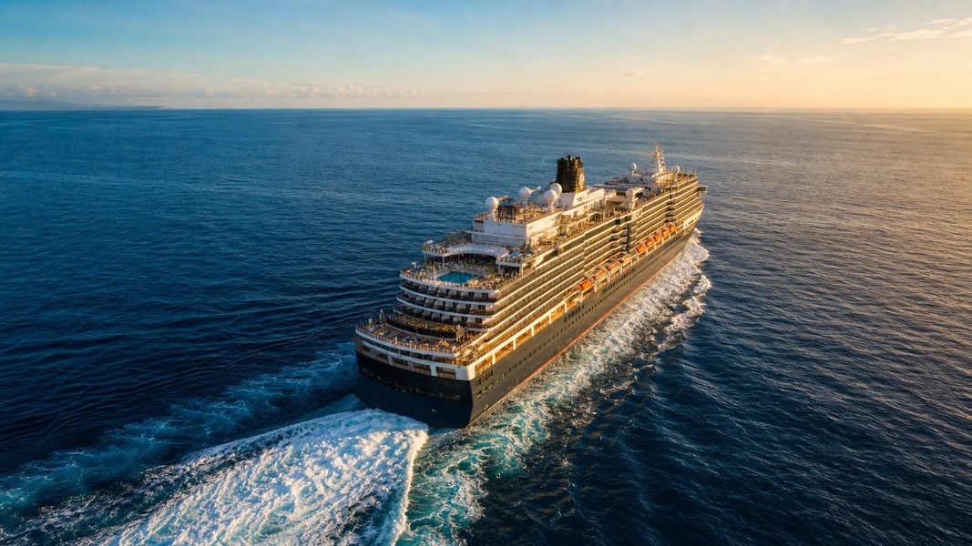
Different vessel types travel at very different speeds. Cargo ships typically cruise at 10 to 15 knots, a pace chosen to balance voyage time against fuel consumption on ocean crossings. Cruise ships usually sail at 20 to 25 knots between ports, which lets them maintain published itineraries. Container ships operate in a similar range. Sailboats under reasonable wind conditions average 5 to 10 knots. Some modern naval vessels can sustain speeds above 30 knots.
A cruise ship crossing the Atlantic at 22 knots covers roughly 528 nautical miles per day, meaning the New York to Southampton crossing takes around six days.
How Nautical Miles Work in Ship Tracking
Every AIS signal a vessel broadcasts includes its position in latitude and longitude, its speed over ground in knots, and its course in degrees. Because those coordinates are already in degrees and minutes of arc, distances between positions are naturally expressed in nautical miles. The entire system is built around the same geographic coordinate framework that gave the nautical mile its definition.
When you follow a vessel using AIS vessel tracking, the speed shown is in knots and distances are in nautical miles. ETA calculations work by dividing remaining distance by current speed: a ship 460 nm from port traveling at 20 knots will arrive in 23 hours. That calculation runs automatically behind the scenes whenever a tracking app shows you an expected arrival time.
Primo Nautic surfaces this data in a way that's readable without maritime experience. Instead of showing raw AIS values, it translates knot speeds and nautical mile distances into personalized updates adapted to why you're tracking the vessel, whether that's following a family member on a cruise or monitoring a cargo shipment. Primo Nautic also processes this AIS data to calculate the "distance from me" feature, which works by comparing your GPS position to the vessel's coordinates and expressing the gap in nautical miles before converting it to a readable format. When the app shows you a ship's current speed, estimated arrival time, or distance from your location, all of it is calculated in knots and nautical miles before being presented in human-readable form. The "distance from me" feature works the same way: your GPS position and the vessel's position are both in latitude and longitude coordinates, and the distance between them is calculated in nautical miles.
Understanding these units helps you interpret vessel data more accurately. A ship that has been sailing at 18 knots for 12 hours has covered 216 nautical miles, roughly 400 km. When a tracking update says a cruise ship is 1,200 nm away, that's about 2,220 km, or a voyage of two to three days at typical cruise speed.
For context on how types of ships differ in cruising speed and range, vessel size, engine type, and cargo all affect how quickly a ship moves through nautical miles and how fuel-efficient it is at different knot speeds.
The Bottom Line
A nautical mile is 1,852 meters, 1.852 km, or 1.15 statute miles. It exists because it equals one minute of arc along a line of latitude, which makes it perfectly suited for navigation with geographic coordinates. One degree of latitude is 60 nautical miles. One knot is one nautical mile per hour. These relationships are what make nautical miles the standard in every maritime and aviation context worldwide, regardless of whether the surrounding country uses the metric system.
The next time a vessel tracking app shows you a ship's speed in knots or its distance at sea in nautical miles, those numbers connect directly back to the geometry of the Earth. The ship isn't just somewhere on the ocean. It's at a specific latitude, at a specific number of arc-minutes from its destination, traveling at a specific fraction of a nautical mile per second.
Most Recent Posts
Discover more articles from our blog.