Marine Weather App: How to Get Live Forecasts at Sea
A marine weather app gives you real-time forecasts tailored to sea conditions, pulling data from NOAA, ECMWF, and live buoy networks to show wind speed, wave height, tide, and sea state at any point on the water. Unlike general weather apps built for land use, a marine weather forecast app accounts for how quickly conditions change offshore and delivers the specific metrics sailors and boaters actually need.
If you've ever checked your phone's standard weather app before heading out on the water and found it useless for anything beyond "partly cloudy," you already understand the gap. This guide covers what separates a proper marine weather app from the alternatives, which metrics matter most, and how to get live conditions at your vessel's exact location rather than just the nearest port.
Why General Weather Apps Fall Short at Sea
Land-based weather apps are built for a different kind of user. They show temperature, precipitation, and a daily outlook, and that works fine if you're deciding whether to bring a jacket. On the water, you need something else entirely.
Conditions at sea change faster and across more dimensions than onshore. A front can push through in hours, wave heights can double in the time it takes to cross a bay, and the difference between a calm anchorage and a dangerous lee shore can come down to a shift in wind direction by 20 degrees. Standard apps don't surface any of that.
The core issue is data resolution. Consumer weather apps pull from land-based stations and broad forecast models that average conditions across wide geographic areas. Marine-specific platforms draw from offshore buoys, high-resolution ocean models, and coastal meteorological services that capture the local effects that matter most on the water. That difference shows up every time conditions deteriorate faster than the forecast suggested.
What to Look for in a Marine Weather Forecast App
Before comparing specific apps, it helps to know which features actually separate a quality tool from a repackaged land-based service.
The data source matters first. A good marine app draws from NOAA marine forecasts and integrates multiple forecast models including ECMWF alongside real-time buoy data. Apps that rely on a single model or only land-based weather stations will be less reliable once you're offshore.
Update frequency comes next. Marine conditions require hourly data, not the 3-hour or 6-hour refreshes that work for a land-based forecast. Look for apps that pull from official sources at least once per hour.
Beyond the basics, these features separate solid marine tools from generic alternatives:
- Marine-specific metrics: tide charts, current data, sea state classification, wave period and direction (not just wave height)
- Offshore zone coverage: forecasts that extend beyond coastal waters into open ocean zones where conditions diverge from coastal readings
- Integration with navigation: the ability to overlay weather data on nautical charts or onto a vessel's live position markers
That last point matters more than it might seem. An app that shows weather at a fixed pin you set manually becomes a separate task from knowing where your vessel actually is. An app that ties weather to the vessel's live GPS position removes that step entirely.
Key Marine Weather Metrics Every Boater Should Know
A marine weather forecast app is only useful if you can interpret what it shows. Several metrics appear across every platform, and understanding each one changes how you read a forecast.
Wind speed and direction form the starting point for any passage decision. For a practical reference that ties speed ranges to actual sea state descriptions, the Beaufort wind scale is worth bookmarking alongside any weather app you use regularly.
Wave height in marine forecasts refers to significant wave height, defined as the average of the highest one-third of waves. This figure is typically lower than the maximum wave you might encounter. Wave period, the time between successive waves, matters equally: short-period chop in 2-meter seas can be more uncomfortable than long-period swells at 3 meters, depending on vessel type and heading.
Barometric pressure trend tells you whether a weather system is approaching or departing. A rapid pressure drop over a few hours signals deteriorating conditions, often faster than a forecast update will reflect. Many apps display this as a trend graph rather than a single point reading, which makes the pattern easier to read quickly.
Sea state classification pulls wind, wave, and swell data together into a single descriptive scale. It's useful as a quick decision-making tool, especially when you're checking conditions on behalf of someone else tracking a ship at sea and want to understand what the situation means in practical terms.
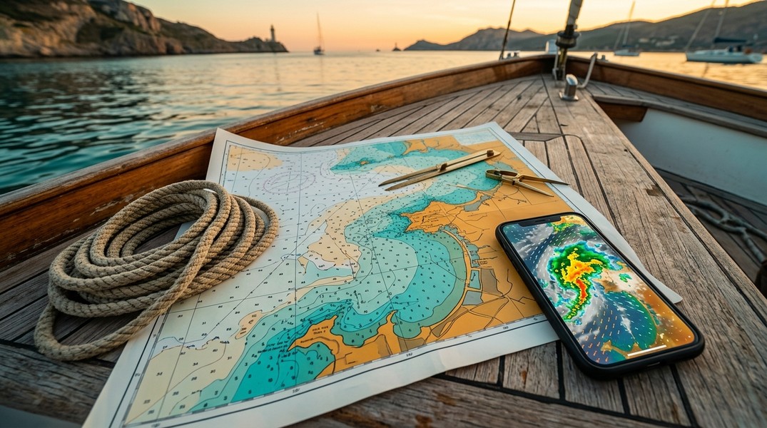
How to Get Live Weather at a Vessel's Location
Standard marine weather apps require you to set a location pin or search for specific coordinates. That approach works when you're planning from shore before a trip. It becomes less practical when the vessel has moved hundreds of miles from your last search, or when you're monitoring conditions for someone else's voyage in real time.
Here's how to check live weather tied to a vessel's actual position:
Step 1: Locate the vessel using its name or MMSI number. Use a vessel tracking app to pull up the ship's live AIS position. This gives you accurate coordinates that update continuously as the vessel moves.
Step 2: Let the app display weather at the vessel's position. Apps that combine AIS tracking with live weather data show sea conditions at the ship's current location automatically, without any manual coordinate input. Primo Nautic pulls wind speed, temperature, sea state, and visibility data tied directly to the tracked vessel's live position, so the weather updates move with the ship rather than staying fixed to a point on the map.
Step 3: Review the next 6 to 12 hours, not just current conditions. A single point-in-time reading tells you what conditions are right now. Hourly forecasts for the next half-day give you the context to assess whether any weather is developing along the vessel's route.
Step 4: Watch trend data alongside the current reading. Pressure trends, wave period history, and wind direction shifts often give more useful information than absolute values at a single moment. An app that shows where conditions are heading is more actionable than one showing only where they are.
This workflow is particularly relevant for families checking on a loved one aboard a cruise ship or cargo vessel. Understanding that a ship is in an area where rough sea conditions behave differently for large ships than for small recreational boats puts the weather data in the right context.
Marine Weather Apps Worth Using
Several apps have built genuine strengths in marine forecasting. The best choice depends on what you're actually tracking.
The Windy platform excels at wind pattern visualization for coastal and inland waters. It integrates NOAA and ECMWF forecast models and lets you compare outputs side by side, which is useful for identifying model disagreement. Its weakness is a heavy focus on wind data with limited wave period detail and no tide charts, which reduces its value for offshore passage planning or tidal navigation.
Navionics by Garmin combines detailed nautical charts with tide and current data in a single interface. Its auto-routing, community-sourced depth updates, and chart syncing across devices make it a strong pick for boaters who want both route planning and weather without switching apps. The weather layer is less detailed than a dedicated forecasting tool, so it works better as a navigation platform with weather context than as a primary forecast tool.
Wavve Boating integrates 7-day marine weather forecasts directly onto navigation charts, updating hourly from NOAA and Environment Canada. It's designed for day trips and weekend boating where you want conditions visible on the same screen as your route without requiring a separate app.
Marine Weather Forecast Pro focuses on offshore depth. It includes five-day NWS marine zone forecasts, real-time buoy data, six-hour wave trend reports, and harmonic tide forecasts with hourly precision. For bluewater passages beyond coastal waters, it offers more detail than navigation-focused apps typically provide.
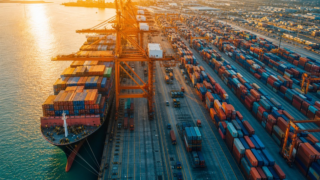
For vessel tracking combined with live weather, Primo Nautic links real-time AIS position data directly to weather conditions at the ship's location. It organizes tracking by purpose, whether you're monitoring cargo, following a cruise ship for a family member, or watching your own boat from shore, and it surfaces sea conditions in terms that match the context. The weather layer moves with the vessel automatically rather than requiring manual updates.
Tips for Getting More from Your Marine Weather Forecast
A few habits make any marine weather tool more reliable in practice.
Cross-reference at least two data sources before making a departure decision. Different forecast models perform differently depending on region and season, and when two sources disagree significantly, that disagreement is itself worth noting. It signals forecast uncertainty that deserves a conservative margin.
Check real-time buoy readings alongside the forecast. Buoys report measured conditions, not predicted ones. If the buoy reading differs substantially from the forecast for that area, the buoy is telling you how well the model is performing today.
Pay attention to wave period alongside wave height. A 2-meter swell at a 10-second period is a very different sea state than 2 meters of chop at 4 seconds, and the difference in vessel motion and safety is significant.
Use hourly forecasts rather than daily summaries when timing any passage or port arrival. Wind and sea conditions routinely vary enough within a single day that daily averages obscure the windows you need to find.
For anyone monitoring a vessel from shore, setting up departure and arrival alerts means you don't need to keep checking the app manually. You get notified when the ship moves, and you can check conditions at that moment rather than tracking it continuously.
Conclusion
A quality marine weather app gives you something a general weather service cannot: data calibrated for the sea, from sources built to handle how quickly and significantly conditions offshore can change. Whether you're planning a passage yourself, monitoring cargo, or keeping track of a vessel carrying someone you care about, the practical difference comes down to getting forecasts at the vessel's actual location, not a fixed point you set before the voyage started.
Focus on apps that update hourly from official sources, show marine-specific metrics including wave period and sea state, and display conditions at a live vessel position when that capability matters for your use case. Add the habit of cross-referencing buoy data with forecast models, and you'll have a reliable system for reading what the sea is actually doing, not just what a land-optimized algorithm expects it to do.
Most Recent Posts
Discover more articles from our blog.