Beaufort Scale: Complete Guide to Wind Force at Sea
The Beaufort wind force scale is a 13-level system that translates wind speed into observable effects on the sea surface, running from Force 0 (perfectly calm water) to Force 12 (hurricane-force conditions with massive swells). Developed in 1805 by British naval officer Sir Francis Beaufort, it remains the standard reference in marine weather forecasts used by the International Maritime Organization, the World Meteorological Organization, and meteorological offices globally. Each force level carries specific wind speed ranges in knots, km/h, and mph, plus defined wave heights and sea state descriptions.
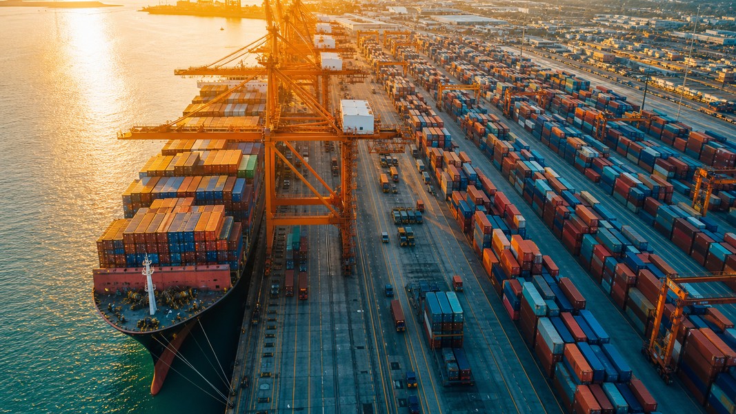
Whether you're preparing for a cruise, tracking a cargo shipment, or following a vessel carrying a loved one, understanding the Beaufort scale tells you immediately what conditions a ship is sailing through at any given moment.
How the Beaufort Scale Was Created
Sir Francis Beaufort was a British naval officer who needed a practical way to record wind conditions in ship logs without instruments. In 1805, he codified a system based on the effects of wind on a Royal Navy frigate's sails, ranging from conditions "just sufficient to give steerage" at Force 0 to winds that no canvas could withstand at Force 12. Initially, the scale contained no wind speed numbers: just descriptions of sail behavior and sea appearance.
The system was formalized with actual wind speed values in 1874 when the International Meteorological Organisation adopted it for official ship logs. Later, the scale was endorsed per international weather standards for global marine forecasts, and it became the universal vocabulary of weather bulletins at sea. Today's version covers both sea and land observations, but its maritime application, linking force numbers to specific wave heights and sea states, remains the most practically useful form.
One reason the scale endures is simplicity. A mariner who observes extensive white foam streaks on the sea, with heaped waves and spray, can identify Force 7 without instruments. That shared vocabulary still appears in official Met Office forecasts and bulletins from meteorological services worldwide.
The Beaufort Wind Force Scale: All 13 Levels
The table below covers every level with official wind speeds and sea state descriptions. Wave heights are approximate; actual conditions depend on fetch, meaning the duration and distance over which wind has been blowing.
| Force | Name | Wind (knots) | Wind (km/h) | Wave Height | Sea Surface |
|---|---|---|---|---|---|
| 0 | Calm | <1 | <2 | 0 m | Mirror flat |
| 1 | Light Air | 1–3 | 2–6 | <0.1 m | Ripples, no crests |
| 2 | Light Breeze | 4–6 | 7–11 | 0.1–0.3 m | Wavelets, glassy crests |
| 3 | Gentle Breeze | 7–10 | 13–19 | 0.6–1 m | Large wavelets, scattered whitecaps |
| 4 | Moderate Breeze | 11–16 | 20–30 | 1–1.5 m | Small longer waves, frequent whitecaps |
| 5 | Fresh Breeze | 17–21 | 31–39 | 2–2.5 m | Moderate waves, many whitecaps, spray |
| 6 | Strong Breeze | 22–27 | 40–50 | 3–4 m | Large waves, extensive foam crests, spray |
| 7 | Near Gale | 28–33 | 50–61 | 4–5.5 m | Heaped seas, dense foam streaks |
| 8 | Gale | 34–40 | 62–74 | 5.5–7.5 m | High waves, spindrift begins |
| 9 | Strong Gale | 41–47 | 75–88 | 7–10 m | High waves, dense foam, reduced visibility |
| 10 | Storm | 48–55 | 89–102 | 9–12.5 m | Very high waves, heavy foam |
| 11 | Violent Storm | 56–63 | 103–117 | 11.5–16 m | Exceptionally high waves |
| 12 | Hurricane | 64+ | 118+ | 14+ m | Air filled with foam and spray |
Wind speed measured in knots at sea is the primary unit used in marine forecasts, which is why every Beaufort level maps directly to a knot range in official weather bulletins.
Force 0–5: Normal Conditions at Sea
The lower half of the scale covers everyday sailing conditions. Force 0 through 3 represents ideal maritime weather: calm to gentle breezes, wave heights under one meter, no spray, and good visibility. Cruises run smoothly, cargo ships maintain full speed, and passengers experience no motion at all. These conditions dominate tropical trade wind routes year-round.
Force 4 and 5 mark the transition to noticeable motion. Wave heights reach 2.5 meters and spray starts appearing on deck. Large ships continue normal operations, though crews secure loose items on outer decks. Passengers on cruises begin to feel the ship's roll. At the upper edge of Force 5, around 21 knots, the first small craft advisory threshold is reached. Recreational mariners are advised to stay in protected waters from this point, though commercial vessels proceed without issue.
Force 6–8: Conditions That Change Plans
Force 6 brings 40 to 50 km/h winds and wave heights of 3 to 4 meters. Foam begins forming in long streaks along the wind direction, and rigging starts to moan audibly. Large commercial vessels continue normal operations, but cruise ships often begin slight course adjustments to reduce rolling for passenger comfort.
Force 7 (Near Gale) is the inflection point for most commercial vessels. At 28 to 33 knots with wave heights of 4 to 5.5 meters, ships manage structural stress as waves build into swells. Ports begin restricting small craft departures, and cruise captains use weather routing to find smoother passages. Passengers experience pronounced pitching and rolling.
By Force 8 (Gale, 34 to 40 knots), official gale warnings are in effect. Wave heights reach 7.5 meters in open water. Cruise operators at this point alter itineraries, and vessels not designed for offshore conditions return to port. Spray at Force 8 consistently limits visibility from the bridge, and maintaining a straight course requires active work.
For anyone tracking a vessel, a Force 7 or 8 reading at the ship's position signals likely delays, course deviations, or reduced speed in the AIS data stream. If you're monitoring a cruise for a family member or a cargo shipment for your business, apps like Primo Nautic display live weather conditions at a tracked ship's exact location, giving you actual conditions rather than just port forecasts.
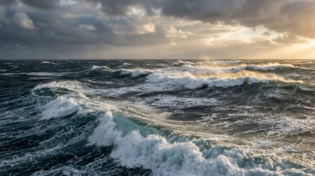
Force 9–12: Severe and Extreme Weather
The upper end of the scale covers conditions that every vessel actively works to avoid. Force 9 (Strong Gale) generates wave heights of 7 to 10 meters, with dense foam reducing visibility and toppling crests adding shock loads to hulls. Storm warnings follow at Force 10, with wave heights of 9 to 12.5 meters and the sea taking on a white appearance from continuous foam and spray. Cruise sailings are cancelled, cargo operations halt, and vessels that cannot make port attempt to shelter by heaving-to or running before the sea.
Force 11 (Violent Storm) produces waves of 11.5 to 16 meters, tall enough that ships disappear into troughs between crests when viewed from a distance. At Force 12 (Hurricane), sustained winds exceed 64 knots with wave heights above 14 meters. The original Beaufort scale placed this as the absolute maximum: winds strong enough to dismast a sailing frigate and leave the entire sea surface white with foam and airborne spray.
According to the National Ocean Service, the North Atlantic experiences Force 8 or higher conditions on approximately 5 to 10 percent of winter days, making severe weather a routine planning factor on the most-traveled shipping routes in the world.
How Ships Respond to Different Force Levels
Every category of vessel has operational thresholds tied to Beaufort levels, and maritime regulations set clear guidance at each step.
- Small craft (under 12 m): Small craft advisories begin at Force 5 (21+ knots). Gale warnings at Force 8 mean these vessels should not be underway in open water.
- Cruise ships: Course adjustments typically begin at Force 6 for passenger comfort; active weather routing and itinerary changes by Force 7–8. Sailings cancelled or delayed at Force 9 and above.
- Cargo and container ships: Built for heavier weather, but weather routing to minimize Force 7+ exposure reduces both structural wear and transit time.
IMO guidelines on weather routing, part of standard voyage planning under SOLAS, recommend route optimization specifically to minimize time in high-force conditions. Weather routing saves 5 to 15 percent in fuel costs by avoiding gales while maintaining scheduled arrival times. Weather accounts for roughly 20 to 30 percent of global shipping delays, which means the scale is less a theoretical classification and more an active operational input in every voyage plan.
Sea State vs. Wind Speed: An Important Difference
One detail the basic force scale can obscure: wind speed and sea state do not always match. Wind force measures current conditions at a location, but ocean swells travel far beyond their generating storm. A vessel might sail in 10-knot winds (Force 3) while encountering 4-meter swells left by a distant Force 9 storm two days earlier.
The sea state (wave height and period) and the current Beaufort force number can be very different. For those tracking vessels, this matters when interpreting AIS data. A ship reporting lower speed in apparently mild winds might be fighting swell from a distant storm. Understanding both the force at the ship's position and the broader sea state gives a complete picture of why a vessel is moving as it is.
Ships in rough sea conditions don't just slow down. They actively manage hull angle, cargo securing, and propulsion settings to prevent wave-induced stress and damage. What appears as a minor delay on a tracking map often reflects serious conditions the crew is working through.
Tracking Ships Through Wind Force Conditions
The Beaufort scale connects directly to real-time vessel monitoring. When you follow a ship through an app like Primo Nautic, the live weather data at the vessel's exact position shows what force level it is experiencing right now: wind speed in knots, wave height, and current sea state. A Force 7 reading at a cruise ship's position signals that the itinerary may shift, arrival time will likely change, and passengers are having a rough ride.
For seafarer families, this context transforms raw AIS position data into something meaningful. Knowing a loved one's vessel is in Force 5 conditions versus Force 9 conditions is the difference between a routine check-in and a reason to pay close attention. Primo Nautic converts that data into plain-language updates adapted to your tracking purpose, whether you're following a cruise, monitoring a cargo shipment, or checking on your own boat from shore.
Conclusion
The Beaufort wind force scale organizes 13 levels of wind intensity, from dead calm to hurricane force, each defined by specific speeds, wave heights, and observable sea conditions. Created for sailing ships in 1805, it remains the standard reference in marine forecasts because it links force numbers directly to the practical reality experienced at sea. Force 7 means route changes and passenger discomfort. Force 10 means sailings cancelled. Force 12 means no vessel is unaffected. Knowing where a ship sits on that scale at its exact current position is what turns AIS tracking data from raw coordinates into a genuine picture of conditions at sea.
Most Recent Posts
Discover more articles from our blog.