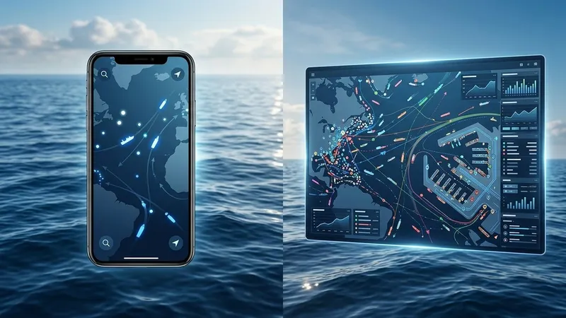
MyShipTracking vs VesselFinder comes down to one trade-off: MyShipTracking gives you more on its free plan, while VesselFinder sells a satellite AIS plan for ships far from shore. Both show live vessel positions from AIS signals, both run on the web, iOS and Android, and both let you look up a ship by name, IMO or MMSI number.
The differences show up once you need more than a dot on a map. Track history, fleet size, alerts and open-ocean coverage all work differently on the two services, and the free tiers are further apart than most people expect.
This comparison walks through each of those areas using the two companies' own plan tables, app store listings and API documentation, so you can pick the tracker that fits the way you actually follow ships.
MyShipTracking vs VesselFinder: Quick Verdict
| Category | MyShipTracking | VesselFinder |
|---|---|---|
| Best for | Free users who want fleets and history | Users who need open-ocean positions |
| AIS source | Terrestrial station network | Terrestrial, plus satellite on the top plan |
| Free track history | 4 days | 1 day |
| Free fleet capacity | 2 fleets, 20 vessels | 10 ships |
| Paid tiers | 3rd Officer, 2nd Officer, Chief Officer, Captain | Basic, Premium, Satellite |
| US App Store rating | 4.4 from 4.5K ratings | 4.1 from 215 ratings |
For casual tracking near coasts and ports, MyShipTracking's free plan goes further. For a ship in the middle of an ocean, VesselFinder's Satellite plan is the only one of the two built for that job.
Neither service explains what the data means for you personally. That gap is covered at the end of this post.
What Is MyShipTracking?
MyShipTracking is a real-time AIS vessel tracking service with a live map, a vessel database, a port database and records of port calls and vessel events. Its iOS app is published by a developer listed as Nativity, and its data comes from a network of shore-based AIS receivers.
The web map is more configurable than many free trackers. You can switch between standard, dark and satellite base maps, add Navionics and OpenSeaMap overlays, and label ships with their name, speed, destination, calculated ETA and the time the last position was received. Weather layers cover wind, temperature, cloud cover, rain and pressure.
Beyond the map, MyShipTracking offers fleets, custom areas you draw yourself, a playback view of recent tracks and community ship photos. According to its App Store listing, the app also sends real-time notifications about vessel movements and changes inside your areas of interest.
That combination makes it feel closer to a lightweight fleet tool than a simple ship finder, even on a free account.
MyShipTracking Strengths and Weaknesses
The strongest point is how much the free account includes. The MyShipTracking plans page lists 2 fleets holding 20 vessels, 5 custom areas, 4 days of historical tracks, 3 days of playback and 20 days of port calls on the free tier. That is enough to follow a handful of ships without paying anything.
The second strength is how far the paid tiers scale. The top Captain plan lists 500 fleets, 3,000 vessels in fleets, 2,000 custom areas and 360 days of historical tracks and port calls, which puts it within reach of small operators, not only hobbyists.
The main weakness is coverage. MyShipTracking's own API documentation describes its data as terrestrial AIS with limited coverage, warns that vessels may stay out of range for extended periods, and says historical routes may be incomplete. If the ship you care about spends days offshore, expect gaps in its track.
App reviews point to a second weakness. One App Store reviewer wrote that after an update, tapping a vessel in their fleet no longer opened its photo and details, and an earlier reviewer noticed the app showed fewer ships than other trackers and put it down to terrestrial rather than satellite signals.
What Is VesselFinder?
VesselFinder is an AIS tracking platform run by Astra Paging, with a web map and mobile apps for iOS and Android. Its vessel database lists more than 500,000 ships with technical specifications, management information, live AIS positions, port calls and photos.
The two app store listings give different daily figures. The Google Play listing says the app tracks over 200,000 ships every day, while the App Store listing says over 300,000 vessels daily using satellite, roaming and terrestrial AIS receivers. Either way it is one of the most installed trackers, with more than 1 million downloads on Android alone.
Core features include search by name, IMO or MMSI, ship movement history, vessel particulars, port calls per ship and per port, a synced My Fleet list, saved map views, community ship photos and a distance measuring tool. You also get simple, dark, satellite and nautical map styles with weather layers for wind, waves and temperature.
The iOS listing adds predicted routes and ETAs to the next port, plus contact details for a ship's owner, manager and ISM manager. That last feature is aimed squarely at shipping professionals.
VesselFinder Strengths and Weaknesses
VesselFinder's biggest strength is its satellite option. The top plan combines terrestrial and satellite AIS for global coverage, and the company's satellite service page says 90% of satellite positions arrive with a latency under one hour on average, with updates ranging from a few minutes to several hours. MyShipTracking's plans page lists no comparable satellite tier.
The second strength is depth on the upper tiers. According to the VesselFinder subscription comparison, the Satellite plan includes 90 days of past tracks, up to 2,000 ships in My Fleet and 5 container tracking requests per month.
The weakness is the free tier. VesselFinder's free plan keeps 1 day of past track and 10 ships in My Fleet, and the Android app contains ads. The mid-level Premium plan is still terrestrial only, and the company's own FAQ confirms Premium users cannot track vessels outside terrestrial range.
That makes the step from free tracking to reliable offshore tracking a large one. Reviews reflect it: one App Store reviewer found the free version showing a container ship's position 13 days old, and a July 2026 Google Play reviewer paying for enhanced data said repeated session expiry prompts made the app unusable for them.
Coverage: Terrestrial Stations vs Satellite AIS
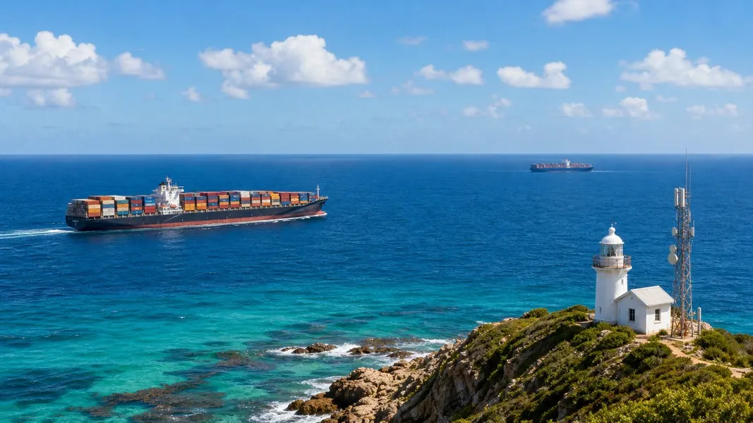
Coverage decides most MyShipTracking vs VesselFinder debates, so it helps to know what each source can see. Shore-based stations only receive AIS signals from ships within their range, which is why both companies describe terrestrial coverage as near-shore. If you want the full picture of how the signals travel, this guide on how AIS tracking works covers it.
MyShipTracking relies on terrestrial AIS for its tracking service and its API. When a vessel sails out of range, its page shows the latest position received until the ship comes back within reach of a station.
VesselFinder works the same way on its Free, Basic and Premium plans. Its app listing says a vessel outside terrestrial coverage shows its last reported position, updated as soon as new data arrives. Only the Satellite plan adds satellite positions to the map.
In practice, both services depend on the same kind of shore coverage for a ferry crossing, a cruise ship at a port call or a container ship approaching a harbour. For a tanker crossing an ocean, or a relative's ship days from land, the free and mid tiers of both can leave you looking at an old position.
Only VesselFinder's top plan is designed to close that gap.
Free Plans Compared
The free tiers are where the two services differ most, and they matter because most people never upgrade. Here is what each company's own plan table lists for a free account.
| Free plan feature | MyShipTracking | VesselFinder |
|---|---|---|
| Historical tracks | 4 days | 1 day |
| Track playback | 3 days | Not listed |
| Fleet capacity | 2 fleets, 20 vessels | 10 ships |
| Custom areas | 5 | Not listed |
| Port call history | 20 days | 1 port call per vessel |
MyShipTracking's free account also includes 20 days of vessel event calls, and its database and port database are fully open on every tier. VesselFinder's free plan does not include port arrivals and departures or expected vessels, which start on its Basic plan.
Both companies list ad removal as a paid plan feature, so expect ads on either free plan.
If you only ever plan to use a free account, MyShipTracking gives you roughly four times the history and twice the fleet space. VesselFinder's free plan is fine for a quick lookup, but it runs out quickly if you want to see where a ship has been over the past few days.
Vessel History, Port Calls and Fleets on Paid Plans
Once you pay, the comparison shifts. MyShipTracking has four paid tiers that scale gradually: 3rd Officer keeps 7 days of tracks and 100 vessels in fleets, 2nd Officer keeps 20 days and 200 vessels, Chief Officer keeps 60 days and 500 vessels, and Captain keeps 360 days and 3,000 vessels.
VesselFinder has three paid tiers. Basic keeps 3 days of past track and 20 ships in My Fleet, Premium keeps 7 days and 500 ships, and Satellite keeps 90 days and 2,000 ships with 15 port calls per vessel.
On raw history and fleet size, MyShipTracking's top tier goes further. VesselFinder's plan table covers ground MyShipTracking's does not list at all. Its rows include terminal and berth arrivals, proximity events, owner and manager contacts, vessel utilization, a traffic density map, a route planner and container tracking.
The right choice depends on what you do with the data. A ship spotter archiving a year of movements gets more from MyShipTracking, while a freight team that wants to know when a vessel reaches a specific berth and who manages it gets more from VesselFinder.
Alerts, Weather and ETA
Both services go beyond positions, but in different ways. MyShipTracking's plan table includes follow vessel, alerts and weather, and its app sends notifications when vessels move within areas you draw on the map. Its map labels can show a calculated ETA next to the reported destination.
VesselFinder's plan table includes ETA prediction and proximity events, and its iOS app shows predicted routes and ETAs to the next port. Weather layers show wind, waves and temperature over the map.
One detail applies to both. According to VesselFinder's API documentation, the destination and ETA a ship broadcasts over AIS are entered manually by the master. A reported ETA is only as current as the last time someone on board updated it. That is why both services also show their own calculated or predicted ETA.
Primo Nautic takes the same idea a step further by showing the captain's reported ETA next to its own calculated route ETA, with a confidence score so you can judge how far to trust each one.
MyShipTracking App vs VesselFinder App
On the US App Store, the MyShipTracking app holds a 4.4 rating from 4,500 ratings and is free with in-app purchases. VesselFinder's iOS app holds a 4.1 rating from 215 ratings. On Google Play, VesselFinder shows a 4.4 rating from about 11,400 reviews and more than 1 million downloads, so its much larger Android audience rates it as highly as iPhone users rate MyShipTracking.
The feature sets lean in different directions. The MyShipTracking app focuses on things you set up yourself: custom areas, fleet management, movement notifications, weather overlays and photo uploads. The VesselFinder app focuses on reference data: vessel particulars, company contacts, port calls per port, saved map views, your own location and a distance tool.
Recent VesselFinder reviews on Google Play mention login sessions expiring and a period in March 2026 when the app would not load, which the developer said it had fixed in an update. MyShipTracking reviews on the App Store centre more on features that changed between versions.
Neither app is a clear winner on stability. Pick the one whose feature focus matches how you use a tracker day to day.
Data and API Access
If you are a developer, the MyShipTracking API and the VesselFinder API take similar credit-based approaches with a few important differences.
MyShipTracking's API documentation lists endpoints for single and bulk vessel positions of up to 100 ships per request, vessels in a zone or near a reference ship, historical tracks, port calls, port arrival estimates and fleet management. A simple response costs 1 credit and an extended one costs 3. Each user gets one trial key limited to 2,000 coins and 10 days, and the data is terrestrial only.
VesselFinder's API offers credit-based methods for vessel data, port calls, expected arrivals, master data and sea route distances, plus flat-fee methods for a predefined vessel list or all vessels in an area. It charges 1 credit per terrestrial position and 10 credits per satellite position, and credits expire 12 months after purchase.
VesselFinder is the only one of the two that sells satellite positions through its API. Its FAQ also notes that API access and historical data are separate commercial services, not part of the Premium or Satellite app plans.
Who Should Choose MyShipTracking?
MyShipTracking suits people who want a capable free tracker and do not need open-ocean coverage. It fits best if you are one of these:
- A ship spotter near a busy coast or port who wants a free map with labels, weather layers and community photos
- Someone following up to 20 vessels for free, grouped into two fleets
- A small operator who wants long records, since the Captain tier keeps 360 days of tracks and port calls
- A developer who wants to test an AIS API with a trial key before committing
If most of the ships you follow sail coastal routes, ferry lines or busy shipping lanes near land, the terrestrial limitation will rarely get in your way.
Who Should Choose VesselFinder?
VesselFinder suits people who need either satellite coverage or professional reference data. It fits best if you are one of these:
- Someone following a ship across open ocean who is willing to use the Satellite plan
- A shipping professional who wants owner and manager contacts, port expected vessels and vessel particulars in one place
- An Android user who wants the most widely installed of the two apps
- A shipper who wants container tracking in the same subscription as vessel tracking
If you only need a quick position check once in a while, the free app does that. The value of VesselFinder grows with how much you are prepared to put into a subscription.
Is There a Better Alternative?
Both MyShipTracking and VesselFinder answer the same question: where is this ship right now? Neither answers the question most families and many cargo owners actually have, which is what that position means for them.
Primo Nautic reads the same kind of AIS data but starts by asking why you are tracking. You can pick from six purposes, including a loved one on a cruise, a family member working at sea, a cargo shipment, your own boat or a ship you are simply curious about. Its AI then adapts every update to that purpose: warm and reassuring for families, precise and logistics-focused for cargo.
It also shows live weather at the vessel's exact position, sends arrival, departure and delay notifications, and uses the dual ETA described above. It is not a replacement for VesselFinder's professional data such as owner contacts, or for MyShipTracking's year-long archives. If you want to compare it with more trackers, the roundup of VesselFinder alternatives covers several other options.
For someone who wants to understand a voyage rather than read raw data, Primo Nautic is the closer fit.
Conclusion
MyShipTracking vs VesselFinder is less about which app is better and more about where your ships sail and how much you plan to pay.
MyShipTracking gives you the stronger free plan, with four days of history, two fleets, custom areas and movement alerts, and paid tiers that reach 360 days of records. Its coverage is terrestrial, so ships far from shore will show old positions.
VesselFinder's free plan is thinner, but its Satellite plan is the only option of the two that tracks vessels across open ocean, and its plan table adds professional data such as company contacts, berth arrivals and container tracking.
Both rely on AIS ETAs that the crew enters by hand, and both leave you to interpret what the data means. Choose based on coverage first, then on whether you value history and fleets or reference data more.